
Converting survey data into actionable models and information systems.
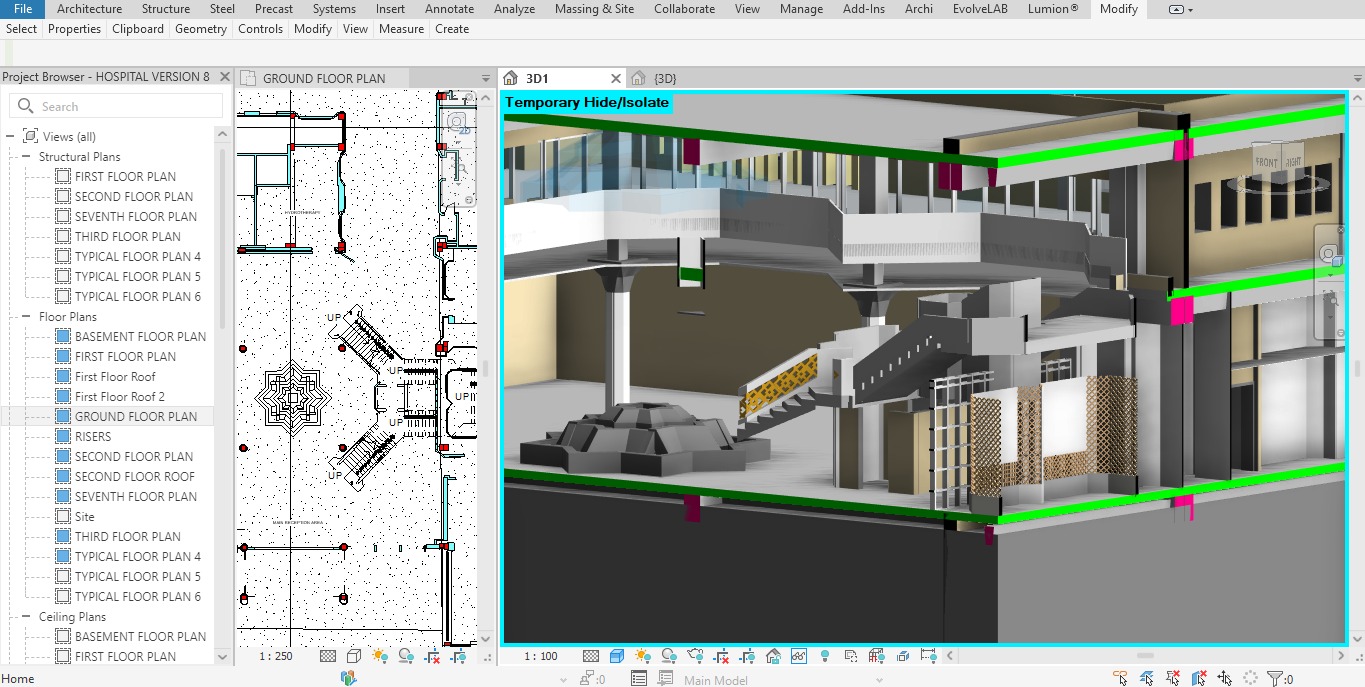
Converting point clouds into an accurate BIM model containing all architectural, structural and MEP elements as they exist — supporting renovation, facility management and expansion.
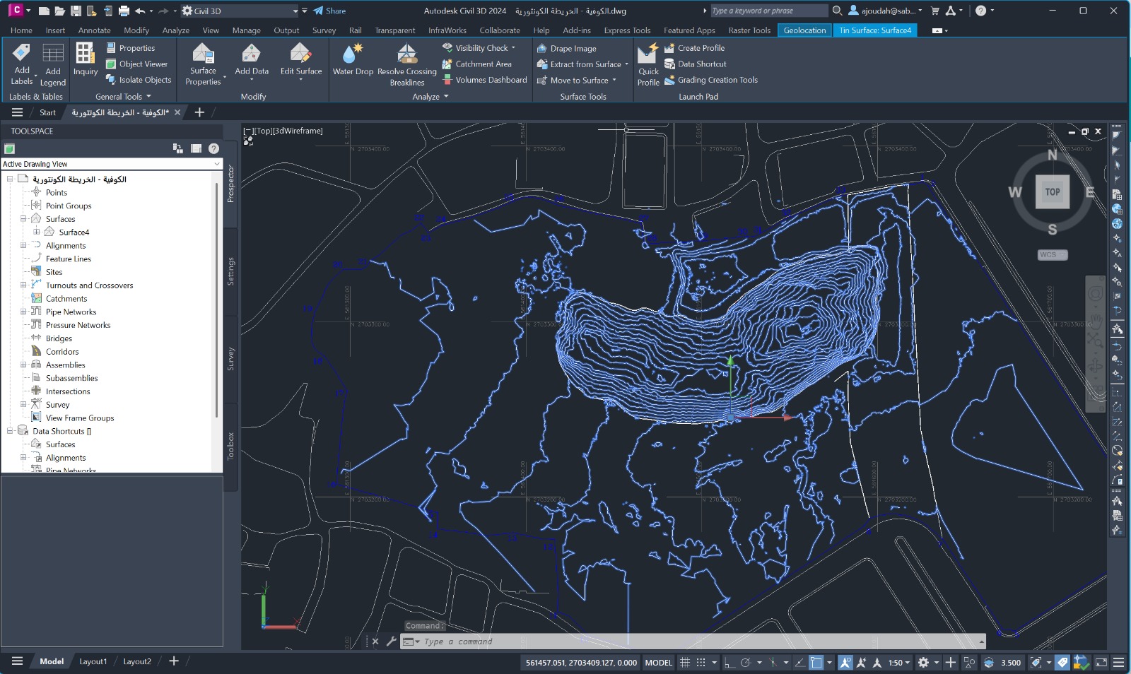
DTM represents the bare earth surface, free from buildings and trees — used in drainage network design, roads, urban planning, quantity calculations and flood risk assessments.
GIS integrates multiple data layers into a single analytical system for spatial analysis and strategic decisions. We provide it to municipalities, developers, oil companies and infrastructure organizations.


